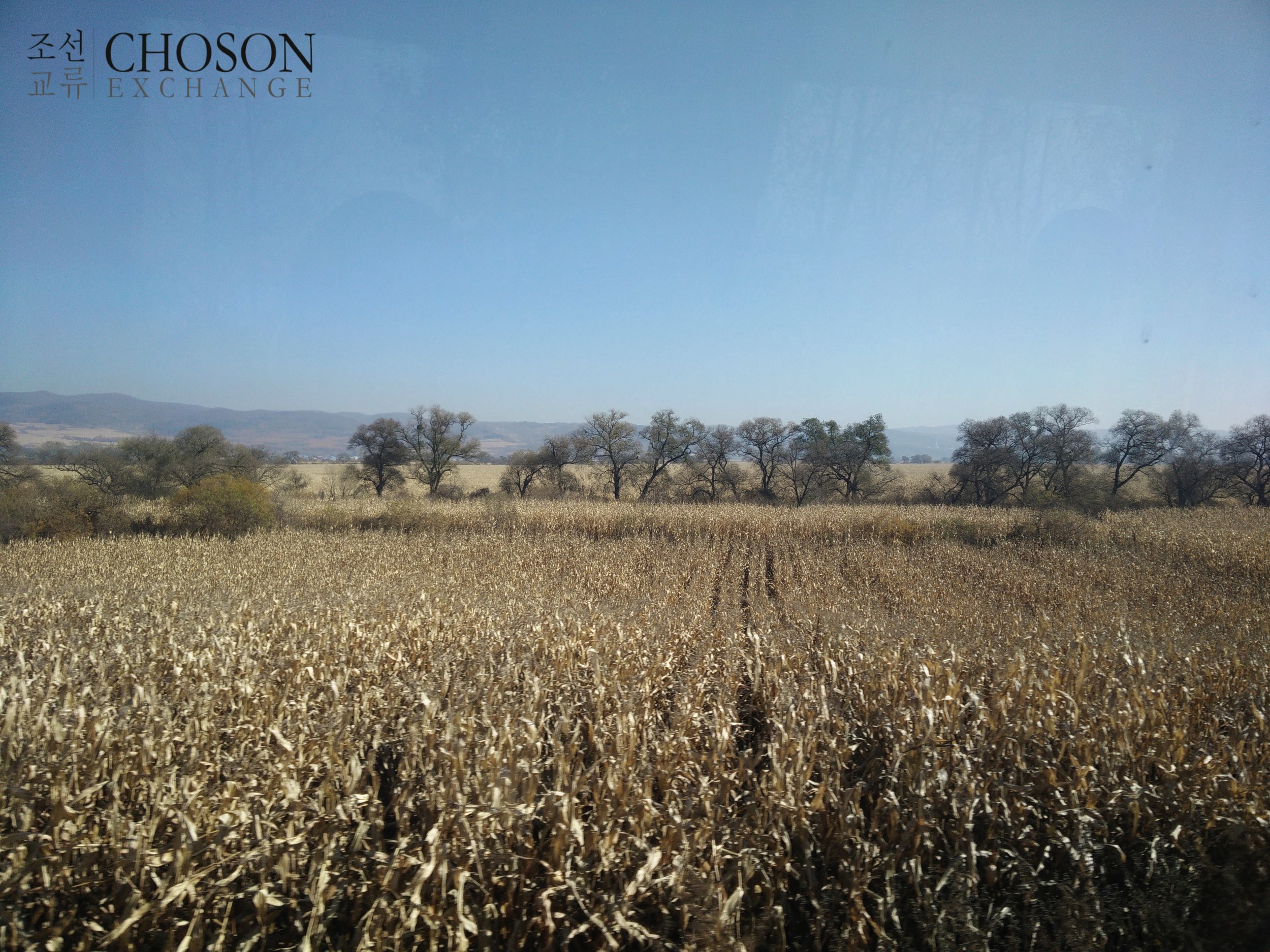
The treeline marks the border with the DPRK.
Recently, we got a chance to visit Liangsui, a subdivision of Tumen city in Yanbian Autonomous Prefecture. Tumen has an agreement with Onsong, a town/country just across the river to develop a joint tourism zone.
Currently it's just cornfields; a local official lamented the lack of investment they'd been able to attract. There is, after all, a moderate tourism industry in the region, but much of it depends on South Koreans. The fear is that if those tourists aren't allowed by their own government to visit North Korean territory, it will make for a dubious investment.
This bilateral agreement was famously(?) announced the day after Jang Song Thaek's execution, which probably speaks to its relatively local nature. The plan is based on a part of North Korean land that is actually on the northern side of the river - it was once an island, but over the decades the river's flow changed course, leaving it contiguous with Chinese territory.

A map of the zone - the green portion is the DPRK, the pink is the PRC. Langshui township is just to the North.
The poster below shows the zone in the broader region. A couple curious things about the English map: why is the Korean side denoted as "N.K." rather than the "D.P.R.K."? (With only one period, rather than two?) Who are Agapolis Planning? (They have what appears to be an amateur local design blog.)

A broader map.
The plans include a golf course, as well as accommodation and cultural attractions. A budget golf course would still cost several hundred thousands of dollars and the timing may be off. The Communist Party is also discouraging golf club membership and there has already been a boom in golf-course construction, leading to what may be a glut.

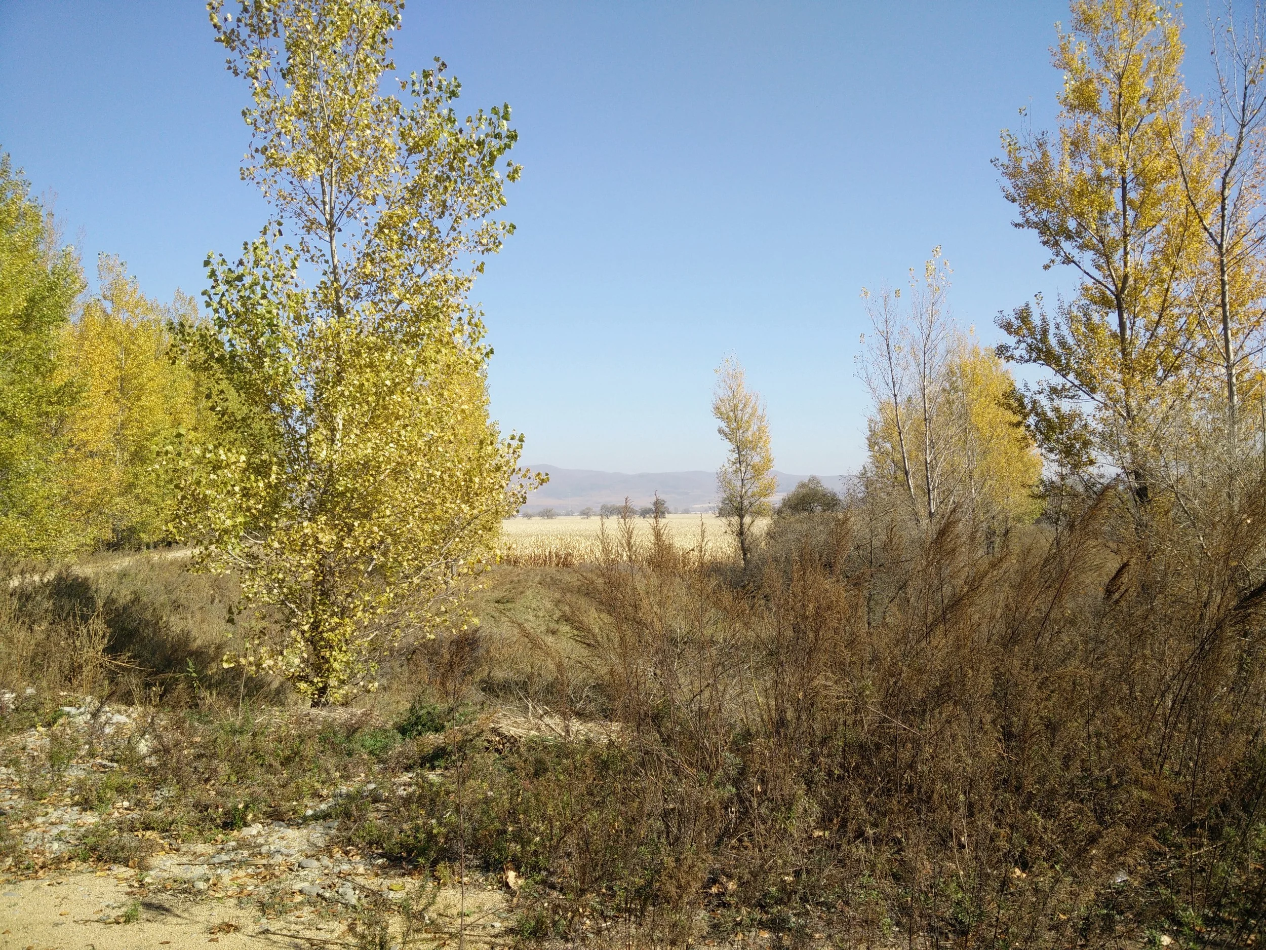
At the end of this path is North Korea.